Mueang
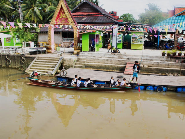
Muang District has a total area of 231.810 square kilometers. The Tapi River flows from the south of the district to the north of the bay at Ban Don.The area is divided into 11 suburbs, the right of the district is a plateau. This area is the main economic district. It is the administrative center of Surat Thani. covers the tambon Wat Pradu, Khun Thale Talat and Makham Tia. The left of the district is the lowlands. It is the location of Bang Chana , Bang Bai Mai, Bang Pho, Bangsai Klong Noi and Khlong Chanak. This area is a natural canal as many lines as the same. So called "100 canal lines"
Tourism location
Accommodation
Restaurant
Travel in Thailand, not to know

